Photo Corners headlinesarchivemikepasini.com
![]()
A S C R A P B O O K O F S O L U T I O N S F O R T H E P H O T O G R A P H E R
![]()
Enhancing the enjoyment of taking pictures with news that matters, features that entertain and images that delight. Published frequently.
Friday Slide Show: Mission Dolores Trail


1 September 2017
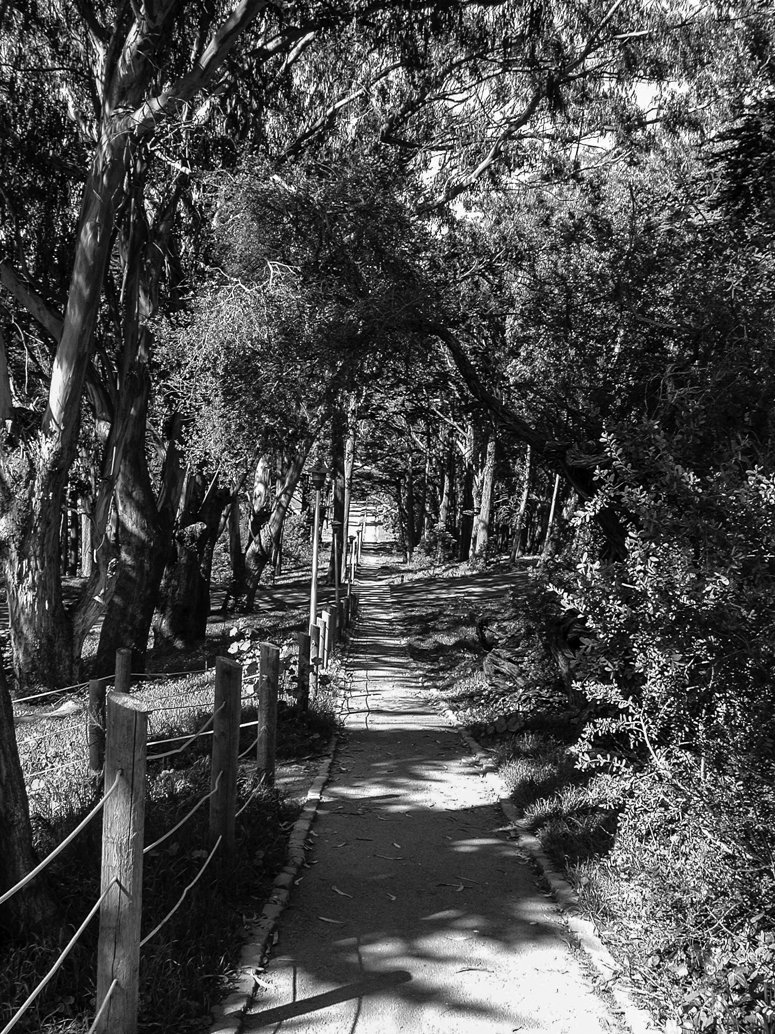
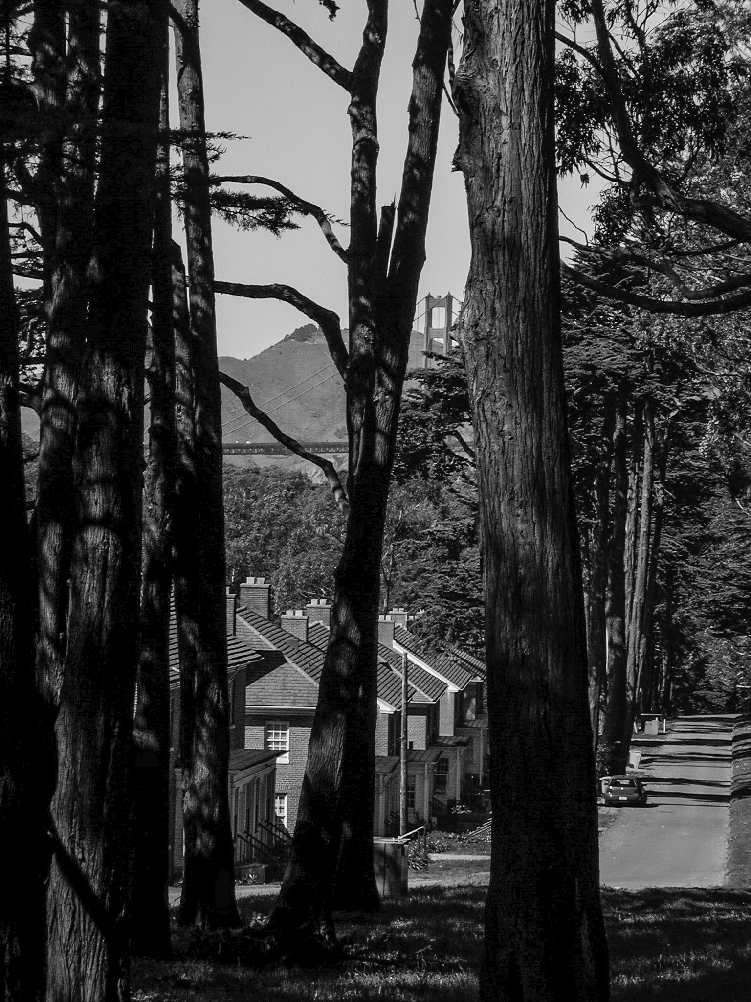
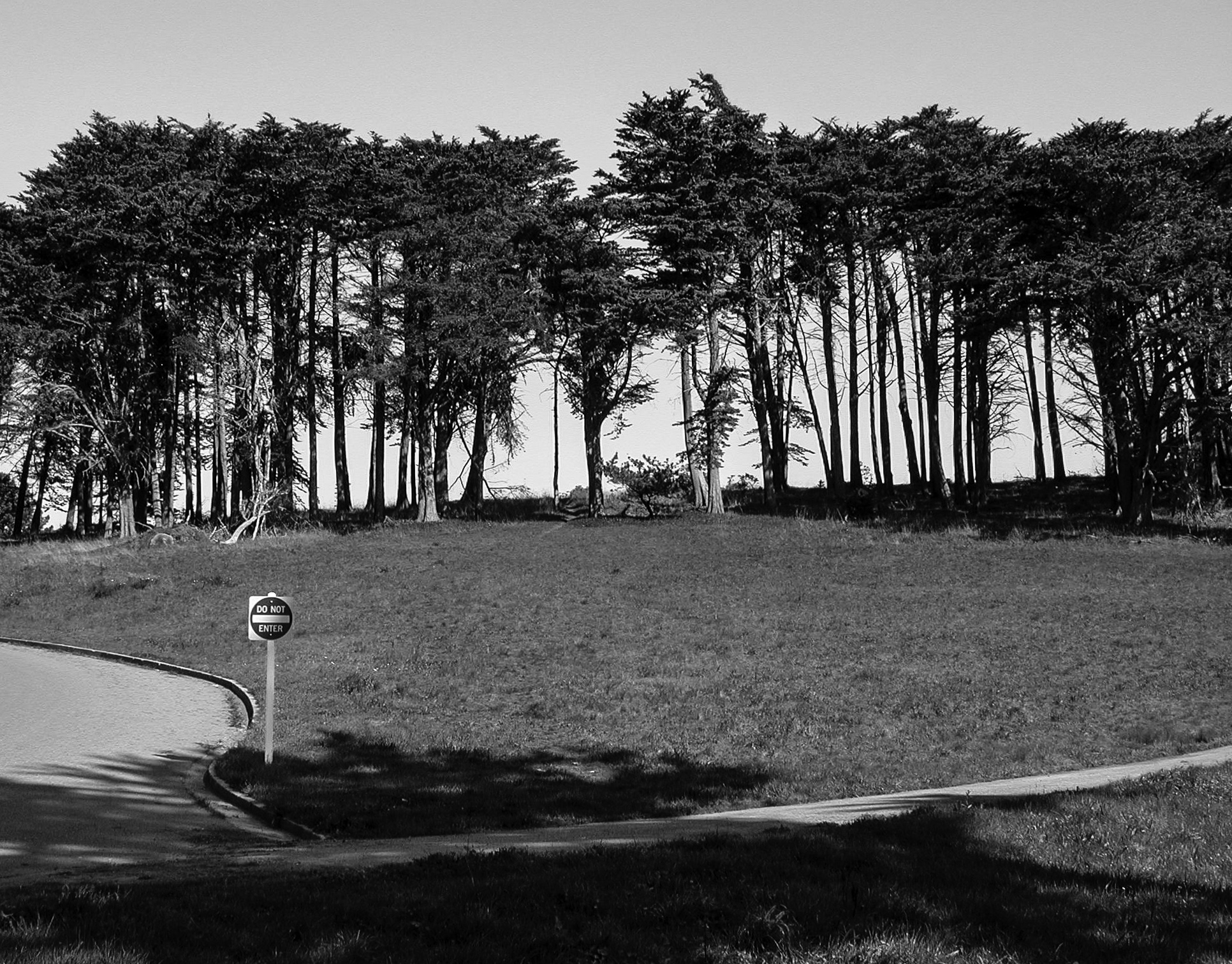
We dug deep into the archives for today's slide show. We had thought to update it with more contemporary photos, but something about the subject itself sent us back 15 years to when we first stumbled upon Lovers' Lane.
It was already part of the National Park Service as the Golden Gate National Recreation Area and the historians had put up explanatory placards that, even then, had weathered into near oblivion.
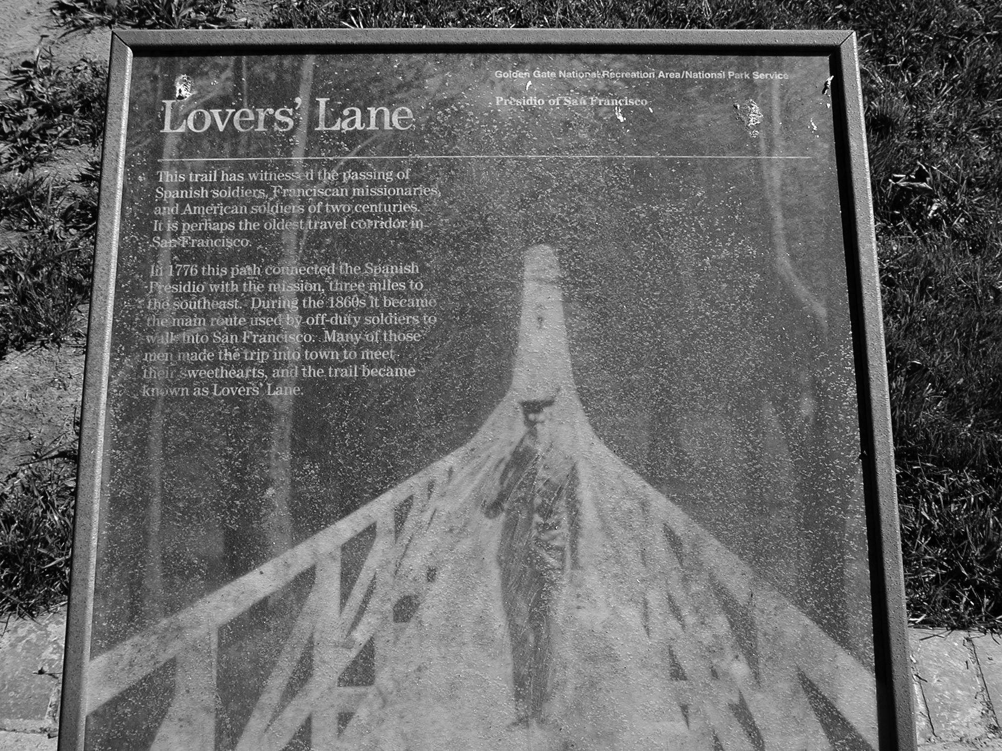
We decoded the one that closes the slide show for you as an introduction:
Lovers' Lane
This trail has witnessed the passing of Spanish soldier, Franciscan missionaries and American soldiers of two centuries. It is perhaps the oldest travel corridor in San Francisco.
In 1776 this path connected the Spanish Presidio with the mission, three miles to the southeast. During the 1860s it became the main route used by off-duty soldiers to walk into San Francisco. Many of those men made the trip into town to meet their sweethearts, and the trail became known as Lovers' Lane.
Who says the federal government doesn't have a heart? Sweethearts, indeed.
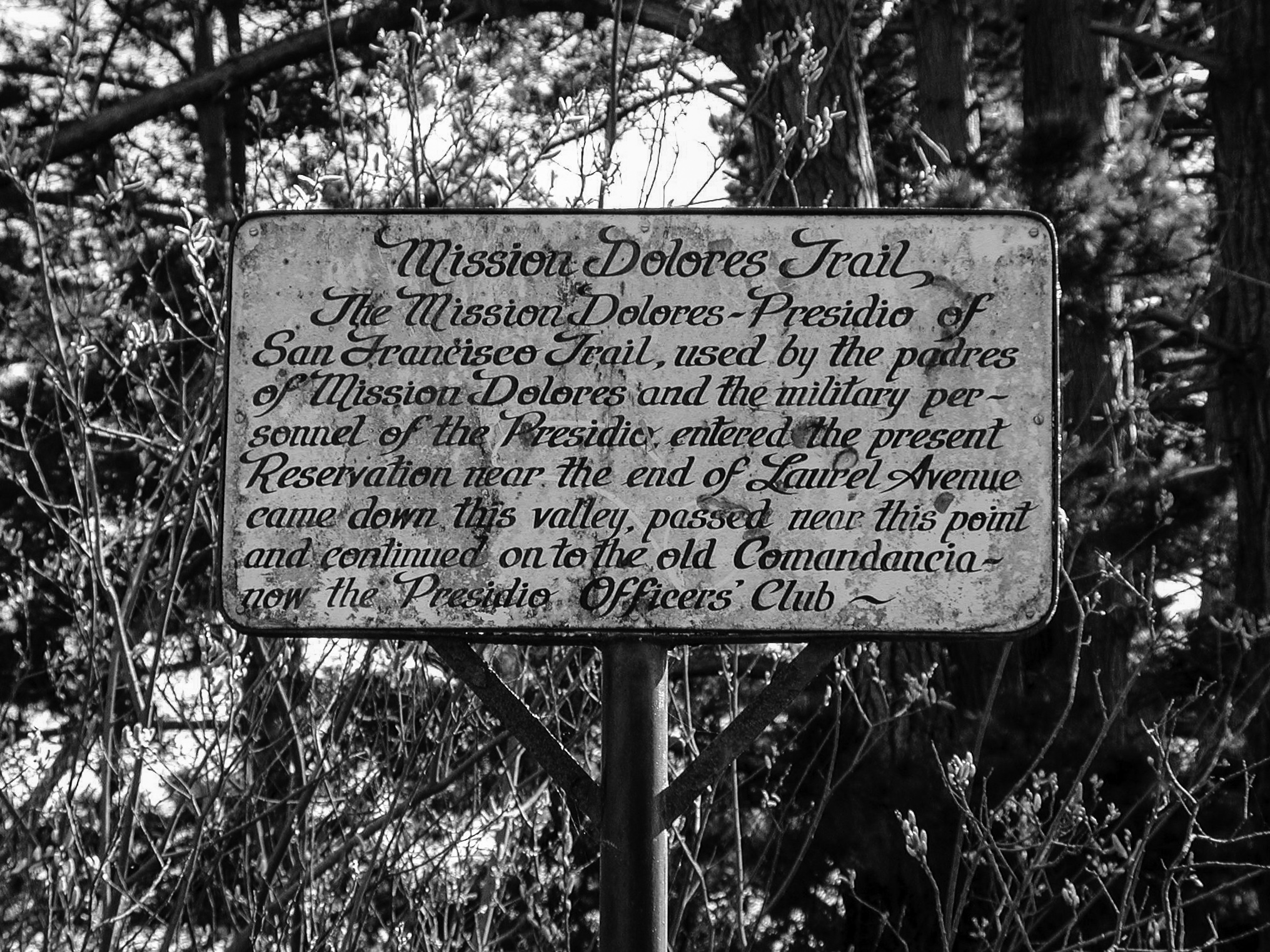
A more sober plaque could also be found 15 years ago, too. Hand-painted, it kept things simple:
Mission Dolores Trail
The Mission Dolores-Presidio of San Francisco Trail, used by the padres of Mission Dolores and the military personnel of the Presidio, entered the present Reservation near the end of Laurel Avenue and came down this valley, passed near this point and continued on to the old Comandancia -- the now the Presidio Offers' Club.
Yes, the old padres could walk the path, too. It was a two-way deal. Soldiers to girls, padres to soldiers.
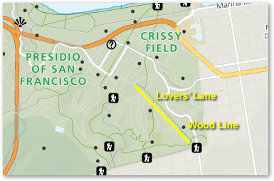
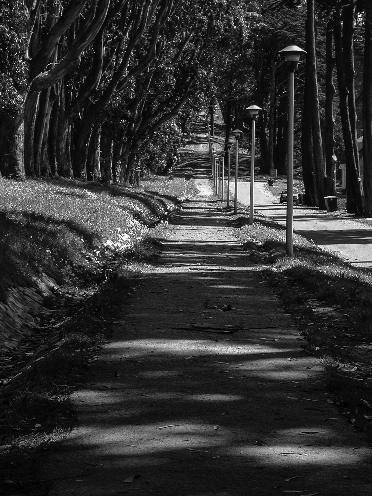
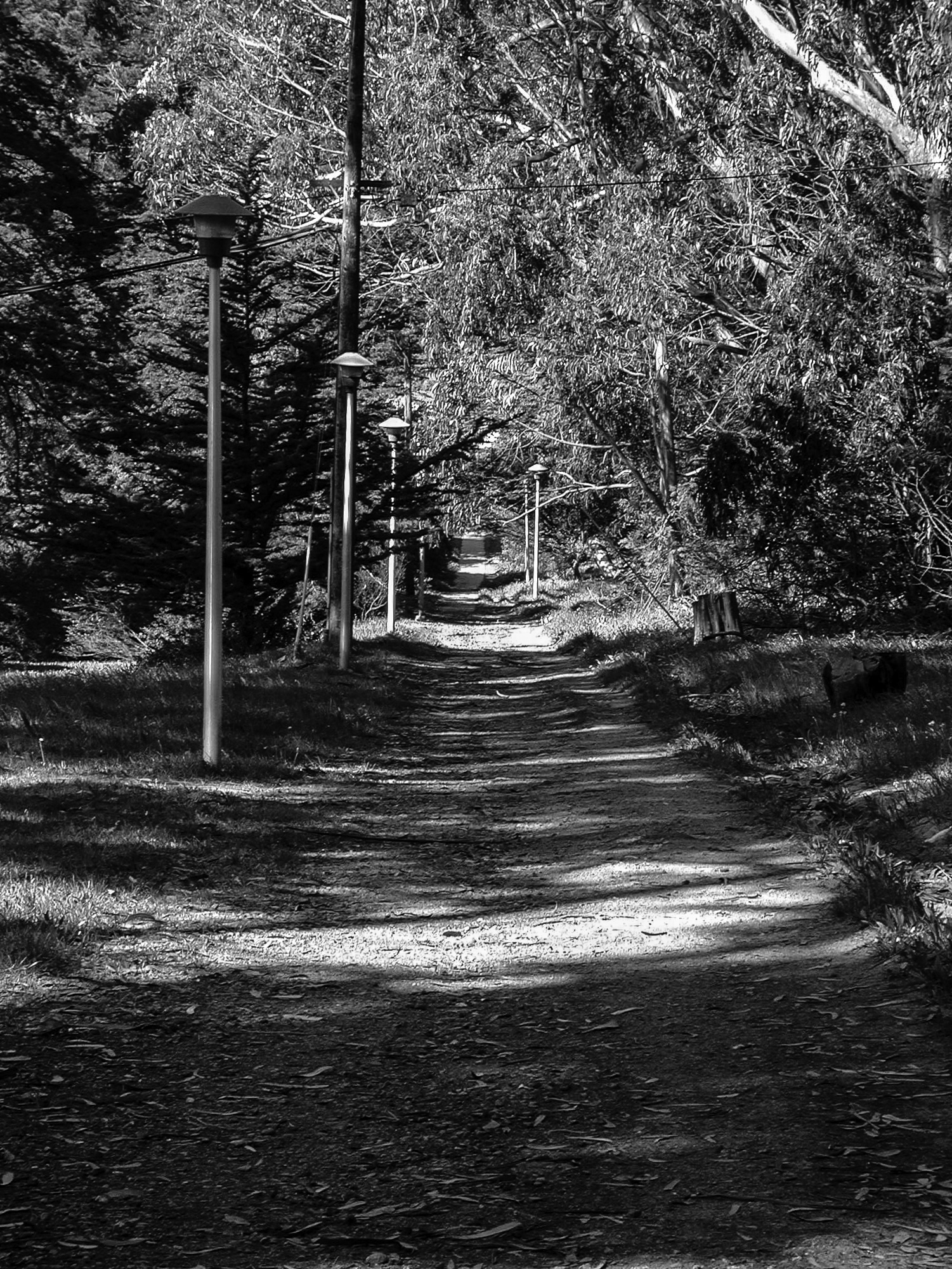
Lovers' Lane. It's the thin green line our thick yellow line accompanies.
It's just a kilometer to the gate with a 21 percent grade at its worst traveling south. And you can always pause to take a look at the view. We did.
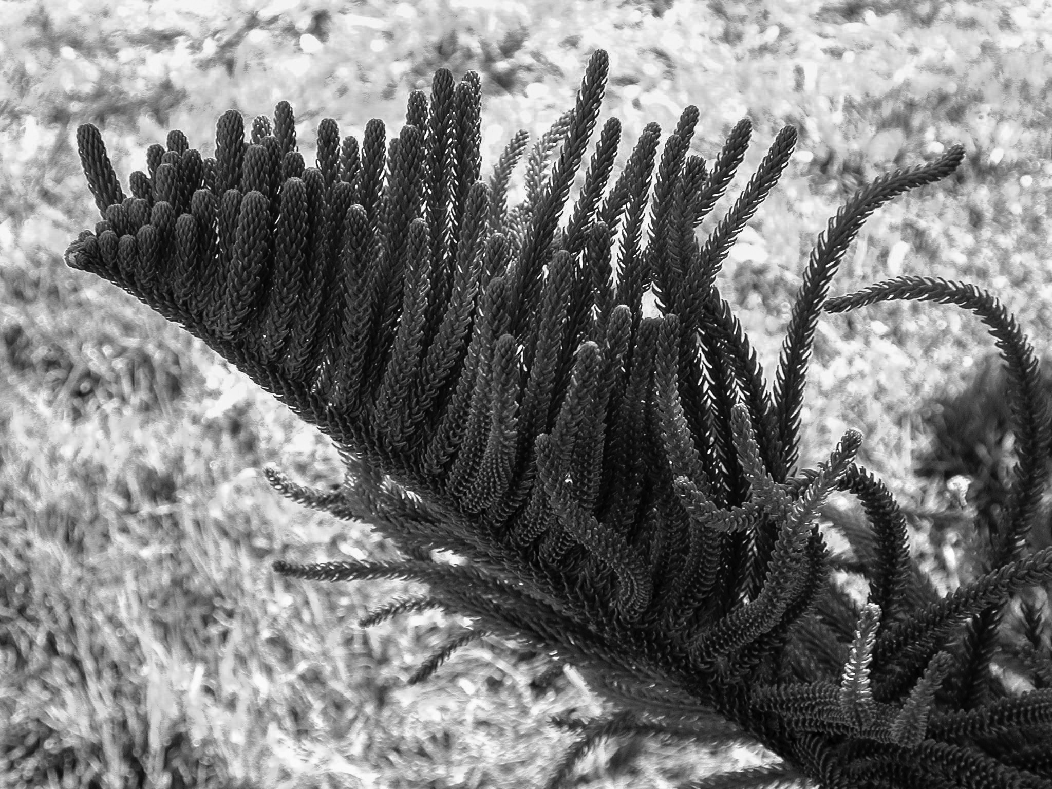
Since we shot these, Andy Goldsworthy has installed Wood Line in the eucalyptus forest just east of the trail near the south end. It's a series of felled tree trunks laid end-to-end to create a zigzagging path you can follow.
These were taken with a Nikon E990 so they are all JPEGs. The color versions were charming enough but we felt black-and-whites would tell the story better. They could be from 1860, after all. Not a lot has changed (except the street lighting).
It is amusing, as the map shows, that the Lane is a straight line. Whatever you call it -- Mision Dolores Trail or Lovers' Lane -- that's the best way to get from A to B (or B to A, as the case may be).