Photo Corners headlinesarchivemikepasini.com
![]()
A S C R A P B O O K O F S O L U T I O N S F O R T H E P H O T O G R A P H E R
![]()
Enhancing the enjoyment of taking pictures with news that matters, features that entertain and images that delight. Published frequently.
Friday Slide Show: A Long Walk


6 August 2021
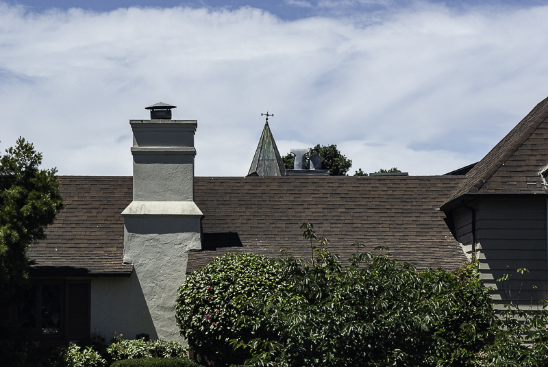
We left the bunker late Monday morning with the wild intention of taking a longer walk than usual. And we brought along the D200 with the 43-86mm Nikkor. Since it was a sunny day for once, we put a Hoya circular polarizer on it.
We thought maybe we'd walk down to Stonestown, which is a big mall, and then right back, which amounts to 10,000 steps and a little over three miles.
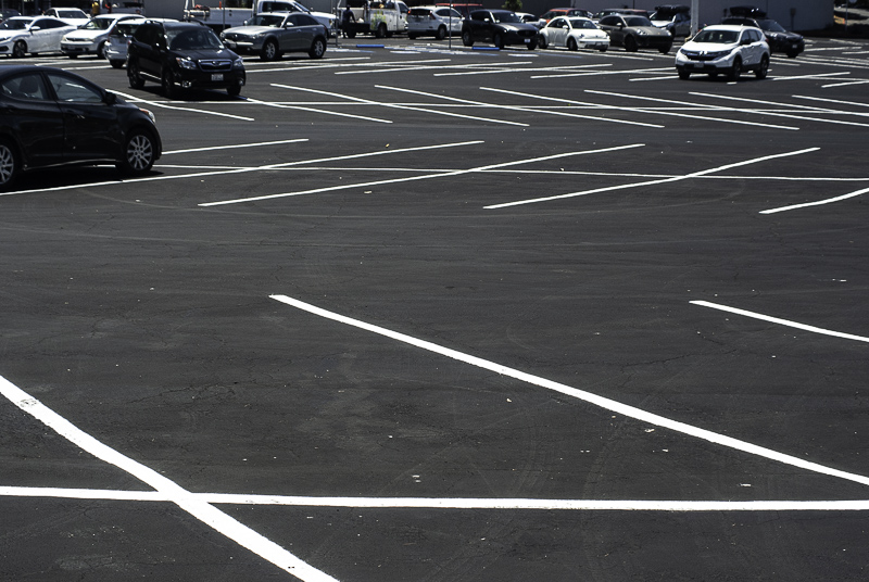
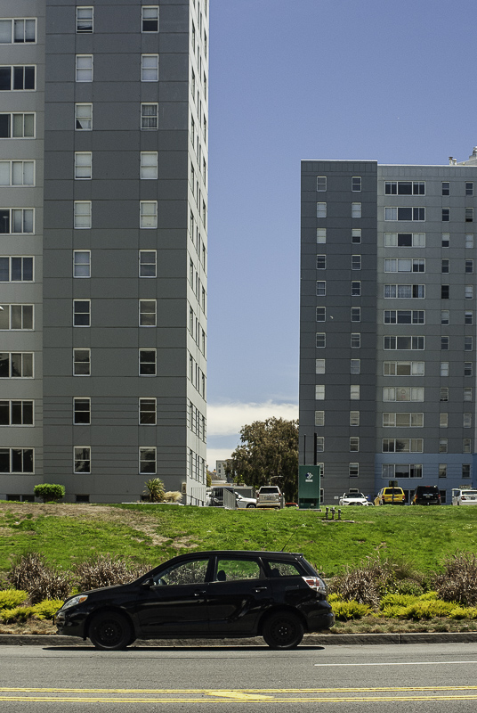
But we really didn't want to spend the afternoon wandering through a mall. So we skirted along the side of the property, charmed by a large, newly-asphalted parking lot, its red curbs and white lines freshly painted.
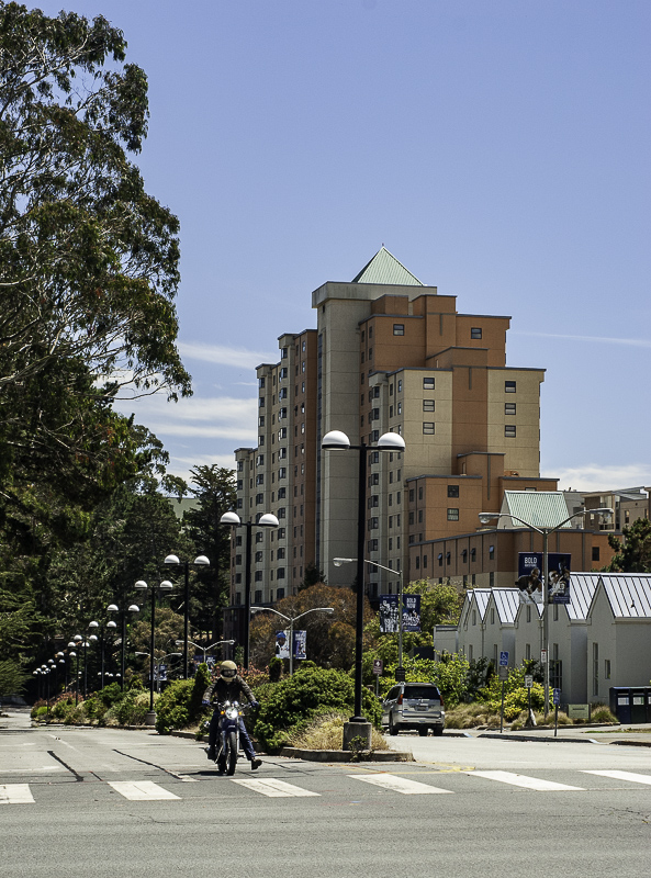
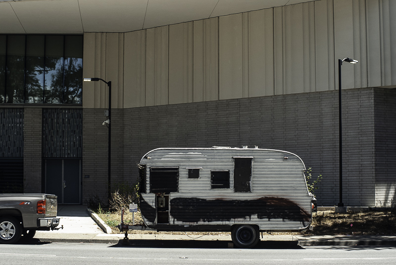
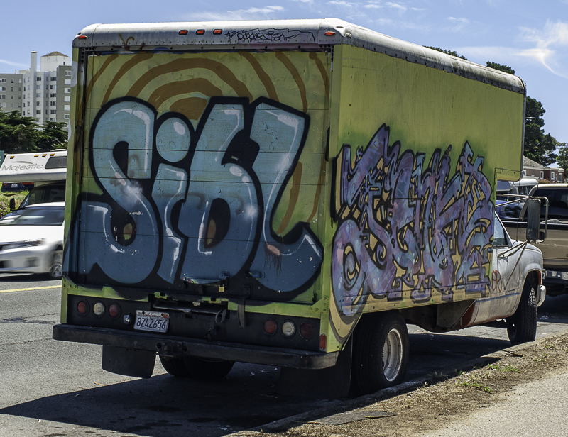
That reminded us that there was an RV community just down the hill leading to Lake Merced. The story, as we heard it, was that because of the student housing shortage at San Francisco State, some entrepreneur bought up dozens of derelict RVs, parked them on the streets bordering the campus and rented them out.
We were quite a ways from home but we weren't halfway through our walk yet.
Students aren't the only people who have trouble finding housing in the city. And this area is also one of the few places left you can park an RV without neighbors complaining. We'd guess students are the smaller part of the population.
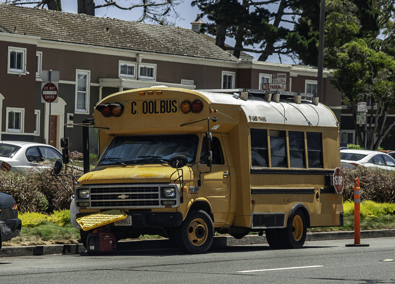
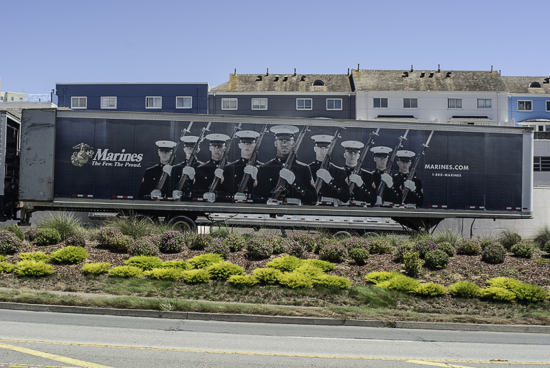
We took a few shots as we passed by the RVs. There were a few signs of life but not many. Some of the vehicles made a statement, others sat quietly.
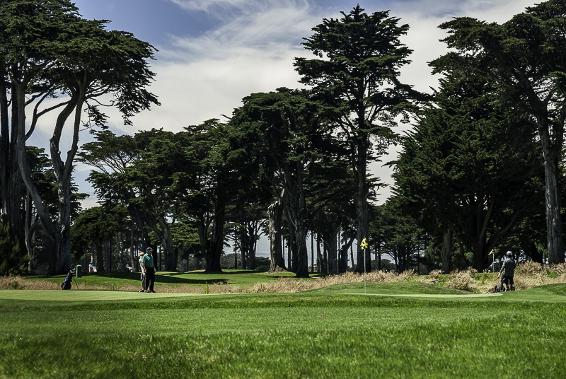
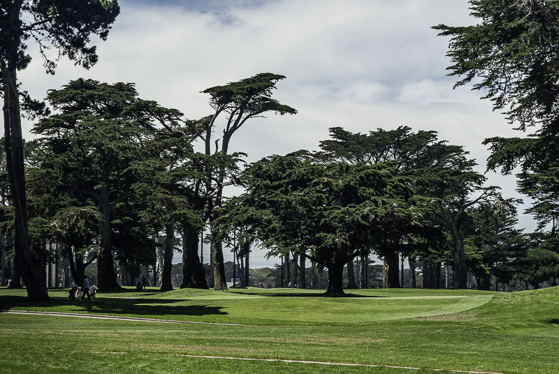
Just across the street from campus is Harding Park, the public links which has a contract with the PGA to host a tournament now and then, which can inconvenience the RV community. The run-down RVs stand in stark contrast to the manicured fairways, tidy sand traps and clipped greens.
We were quite a ways from home but we weren't halfway through our walk yet.
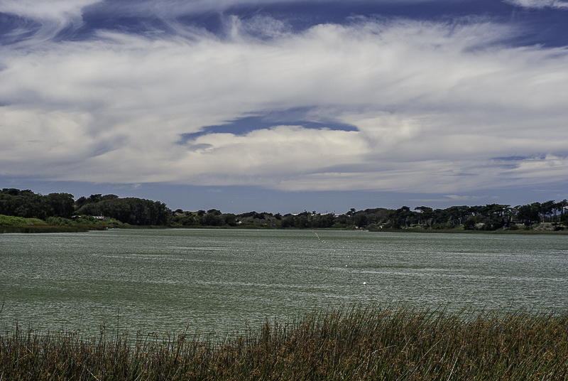
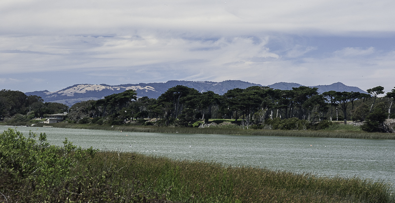
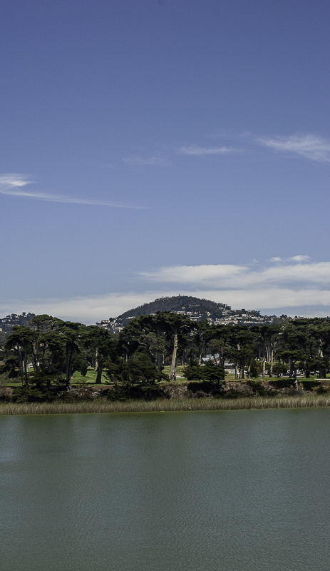
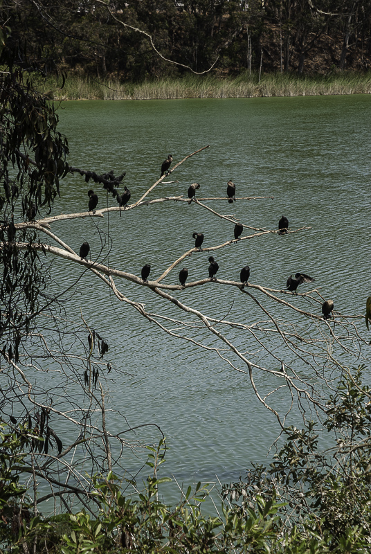
We continued along Lake Merced down to the small bridge that cuts across the southern part. And we came back the other side.
When we were kids, we'd get up early in the morning to fish for trout here. And at the ripe old age of nine, we plotted with a buddy to run away from home to a shack we found in the woods along the western shore. Later, as a teen with money from delivering newspapers, we played golf at Harding. And still later as a track athlete in high school, we would run the 4.5 mile perimeter of the lake to train.
Remembering all that, we realized how far we were from home as we walked up the other side of the lake, our camera tucked in the crook of our arm.
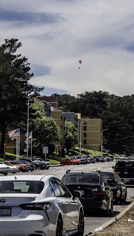
Suddenly we saw a hang glider sailing high in the sky in front of us. We quickly raised the camera to our eye and framed the shot. We didn't get a second chance.
We looked back from the lake near the turnoff to the beach toward Mount Davidson at one point and took a picture. This, incidentally, is exactly the reverse view of those sunset images we publish.
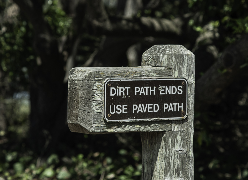
We had neglected to appreciate, as we walked the first half of this hike through the southwestern corner of the city, that we were going downhill. Which meant that the return trip would consequently be uphill, ascending about 900 feet over four miles.
It didn't matter. We made it with energy to spare. In total, our walk covered eight miles and nearly 20,000 steps. Oh, and 61 images, of which we present 22 here.